RoadMap / Region Maps
World · Checklist

Region Maps

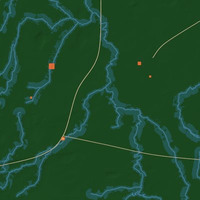
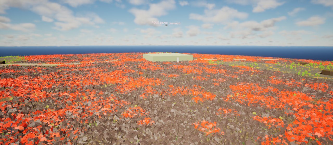
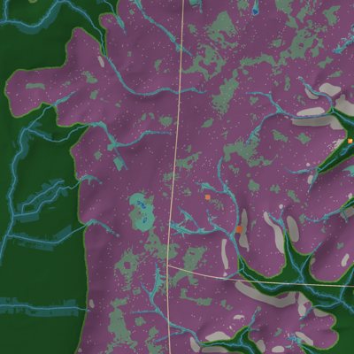
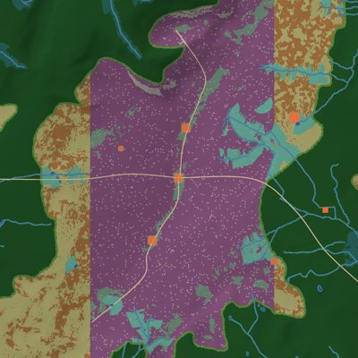
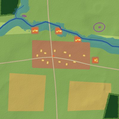
Eleven region maps built from real elevation and river data for western Britain. Each map is planted with its own plant list and streams with World Partition. The manor map has its buildings placed; the other ten have placeholder blocks where their buildings and scenes will go.

74%of all steps
0 complete11 in progress0 not started11 items

Hub

0 of 1 complete
86%
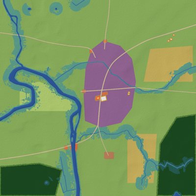
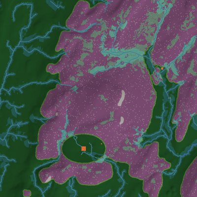
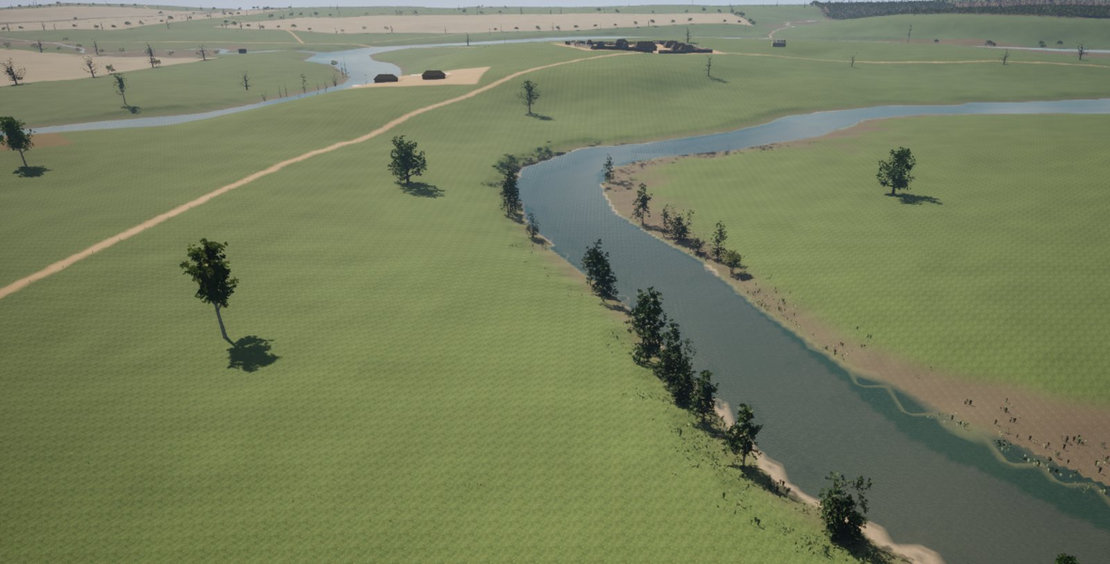
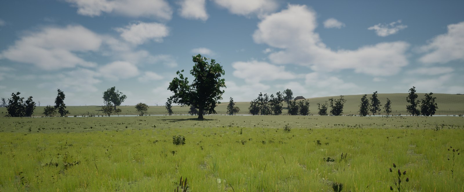
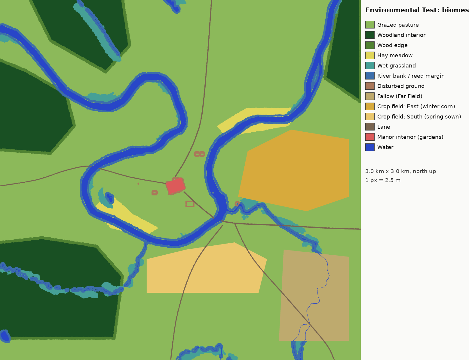
The Severn loop at PengwernPasture and oak at PengwernBiome map of the manor map

M01 Pengwern (the manor)

River valley: hay meadow, pasture, coppice wood, fields, orchard and kitchen gardens. 3.0 km across (1x), 10.0 min to cross at a jog, ground 43 to 138 m. 33,681 trees and shrubs, 5.56 M ground plants.

  • Real heightmap
  • Scale and warp
  • Placement plan
  • Biomes
  • Trees and shrubs
  • Ground cover
  • Water
  • Unreal level
  • Far-view build
  • Buildings and scenes
  • Playtest
86%In progress

Regions

0 of 10 complete
73%
Viroconium biome map

M02 Viroconium

Lowland pasture, river floodplain and Roman ruins. 3.0 km across (1x), 10.0 min to cross at a jog, ground 38 to 84 m. 8,895 trees and shrubs, 3.8 M ground plants.

  • Real heightmap
  • Scale and warp
  • Placement plan
  • Biomes
  • Trees and shrubs
  • Ground cover
  • Water
  • Unreal level
  • Far-view build
  • Buildings and scenes
  • Playtest
73%In progress
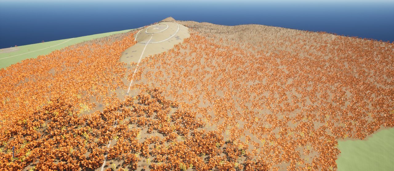
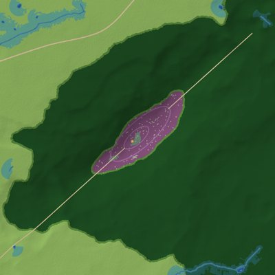
The Wrekin in UnrealThe Wrekin biome map

M03 The Wrekin

Hanging woods below an open crest. 3.0 km across (1x), 10.0 min to cross at a jog, ground 103 to 396 m. 36,997 trees and shrubs, 4.4 M ground plants.

  • Real heightmap
  • Scale and warp
  • Placement plan
  • Biomes
  • Trees and shrubs
  • Ground cover
  • Water
  • Unreal level
  • Far-view build
  • Buildings and scenes
  • Playtest
73%In progress
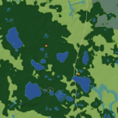
Wenlock Edge biome map

M04 Wenlock Edge

Limestone scarp woods over pasture and fields. 3.5 km across (1x), 11.7 min to cross at a jog, ground 96 to 276 m. 55,329 trees and shrubs, 6.2 M ground plants.

  • Real heightmap
  • Scale and warp
  • Placement plan
  • Biomes
  • Trees and shrubs
  • Ground cover
  • Water
  • Unreal level
  • Far-view build
  • Buildings and scenes
  • Playtest
73%In progress
The Long Forest biome map

M05 The Long Forest

Lowland forest with wet woods along the brooks. 3.5 km across (1.25x), 11.7 min to cross at a jog, ground 88 to 192 m. 78,706 trees and shrubs, 9.1 M ground plants.

  • Real heightmap
  • Scale and warp
  • Placement plan
  • Biomes
  • Trees and shrubs
  • Ground cover
  • Water
  • Unreal level
  • Far-view build
  • Buildings and scenes
  • Playtest
73%In progress
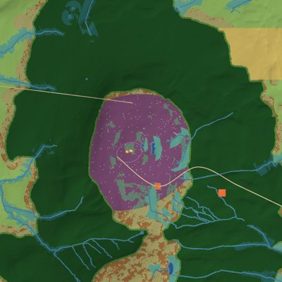
The Long Mynd in UnrealThe Long Mynd biome map

M06 The Long Mynd

Heather and bilberry moor with steep wooded valleys. 4.0 km across (1.15x), 13.3 min to cross at a jog, ground 221 to 512 m. 23,885 trees and shrubs, 9.2 M ground plants.

  • Real heightmap
  • Scale and warp
  • Placement plan
  • Biomes
  • Trees and shrubs
  • Ground cover
  • Water
  • Unreal level
  • Far-view build
  • Buildings and scenes
  • Playtest
73%In progress
The Stiperstones biome map

M07 The Stiperstones

Moor, lower-slope woods, tors and scree. 3.5 km across (1x), 11.7 min to cross at a jog, ground 247 to 523 m. 18,364 trees and shrubs, 6.1 M ground plants.

  • Real heightmap
  • Scale and warp
  • Placement plan
  • Biomes
  • Trees and shrubs
  • Ground cover
  • Water
  • Unreal level
  • Far-view build
  • Buildings and scenes
  • Playtest
73%In progress
The High Country biome map

M08 The High Country

Moor with sheltered wooded valleys. 4.0 km across (1.25x), 13.3 min to cross at a jog, ground 152 to 503 m. 20,936 trees and shrubs, 7.9 M ground plants.

  • Real heightmap
  • Scale and warp
  • Placement plan
  • Biomes
  • Trees and shrubs
  • Ground cover
  • Water
  • Unreal level
  • Far-view build
  • Buildings and scenes
  • Playtest
73%In progress
The Meres biome map

M09 The Meres

Mere-country woods, carr, pasture and bog. 4.0 km across (1.25x), 13.3 min to cross at a jog, ground 69 to 130 m. 56,146 trees and shrubs, 5.9 M ground plants.

  • Real heightmap
  • Scale and warp
  • Placement plan
  • Biomes
  • Trees and shrubs
  • Ground cover
  • Water
  • Unreal level
  • Far-view build
  • Buildings and scenes
  • Playtest
73%In progress
The Clee Hills biome map

M10 The Clee Hills

Flank woods under a moor top. 3.5 km across (1.25x), 11.7 min to cross at a jog, ground 183 to 532 m. 37,626 trees and shrubs, 5.6 M ground plants.

  • Real heightmap
  • Scale and warp
  • Placement plan
  • Biomes
  • Trees and shrubs
  • Ground cover
  • Water
  • Unreal level
  • Far-view build
  • Buildings and scenes
  • Playtest
73%In progress
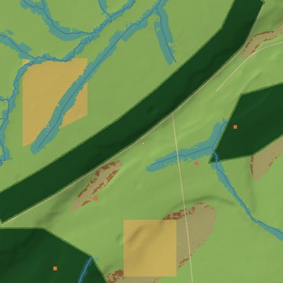
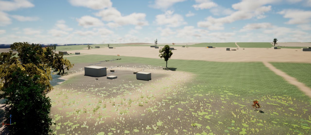
Salinae in UnrealSalinae biome map

M11 Salinae

Pasture, strip fields and a small salt town. 1.5 km across (1x), 5.0 min to cross at a jog, ground 26 to 59 m. 1,394 trees and shrubs, 1.0 M ground plants.

  • Real heightmap
  • Scale and warp
  • Placement plan
  • Biomes
  • Trees and shrubs
  • Ground cover
  • Water
  • Unreal level
  • Far-view build
  • Buildings and scenes
  • Playtest
73%In progress